2023 — Looking Beneath the Surface: Mapping the Lost Graves
2023 — Looking Beneath the Surface: Mapping the Lost Graves
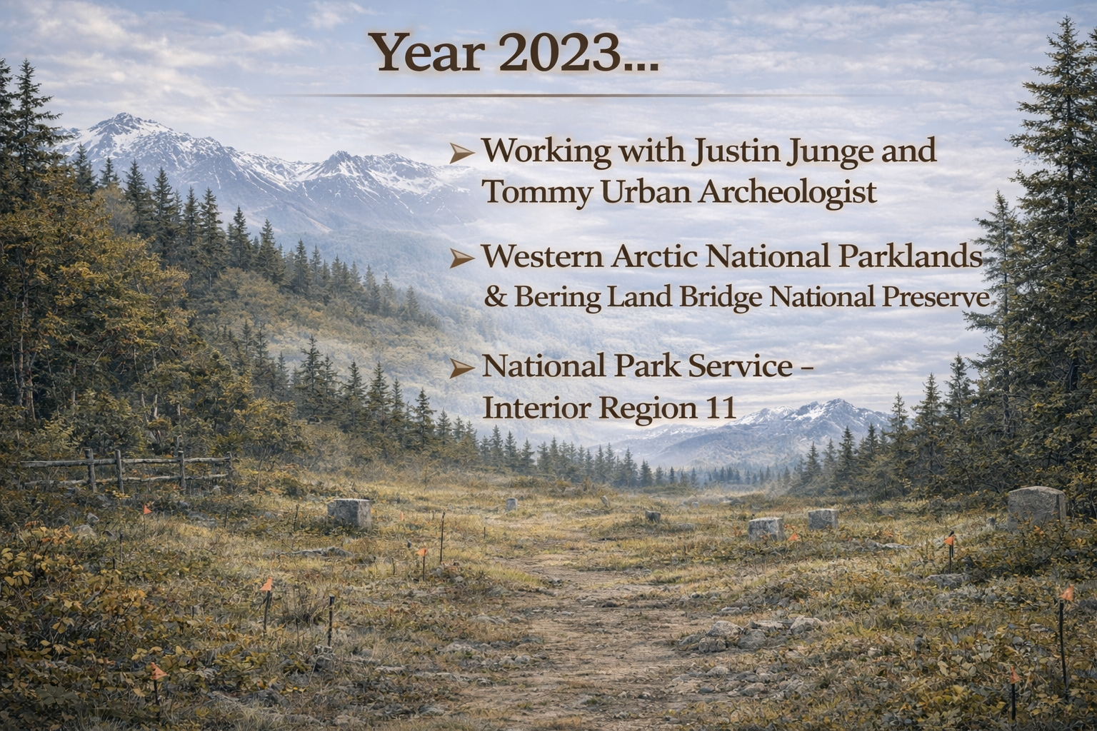
Some history can be found in archives.
Some can be found in photographs, cemetery records, death certificates, and handwritten documents.
But at the Jesse Lee Home Cemetery, there came a point when the answers Qutekcak Native Tribe was searching for could no longer be found only on paper.
Some of those answers were beneath the ground.
By 2023, years of research and the beginning stages of physical restoration had revealed just how much had been lost to time.
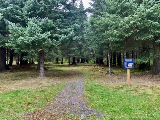
Grave markers had disappeared beneath vegetation and soil.
Burial locations were uncertain.
Records did not always match what could be seen on the land.
And many of the children connected to the Jesse Lee Home had no visible marker identifying where they rested.
The next step required looking beneath the surface.
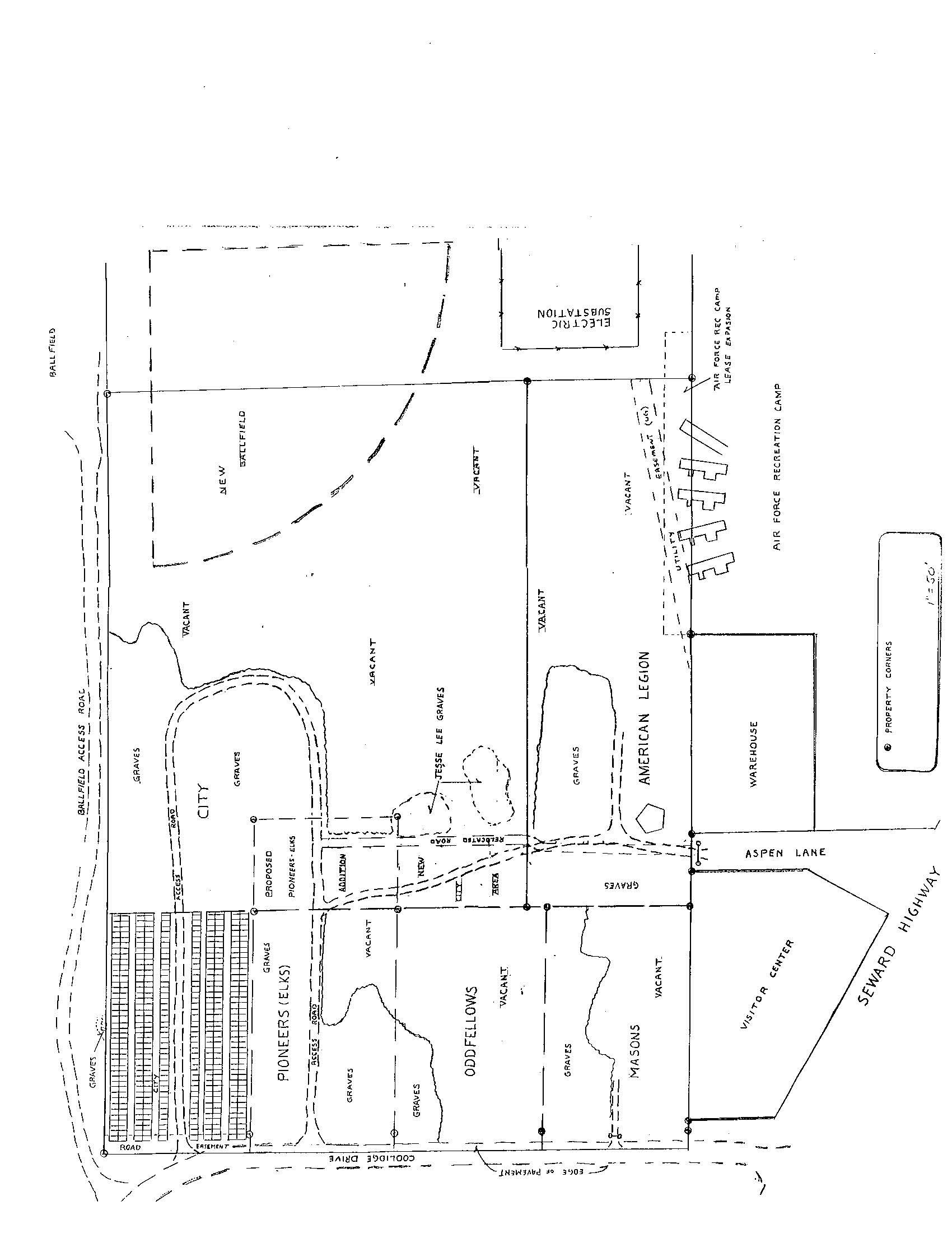
From Historical Records to the Land
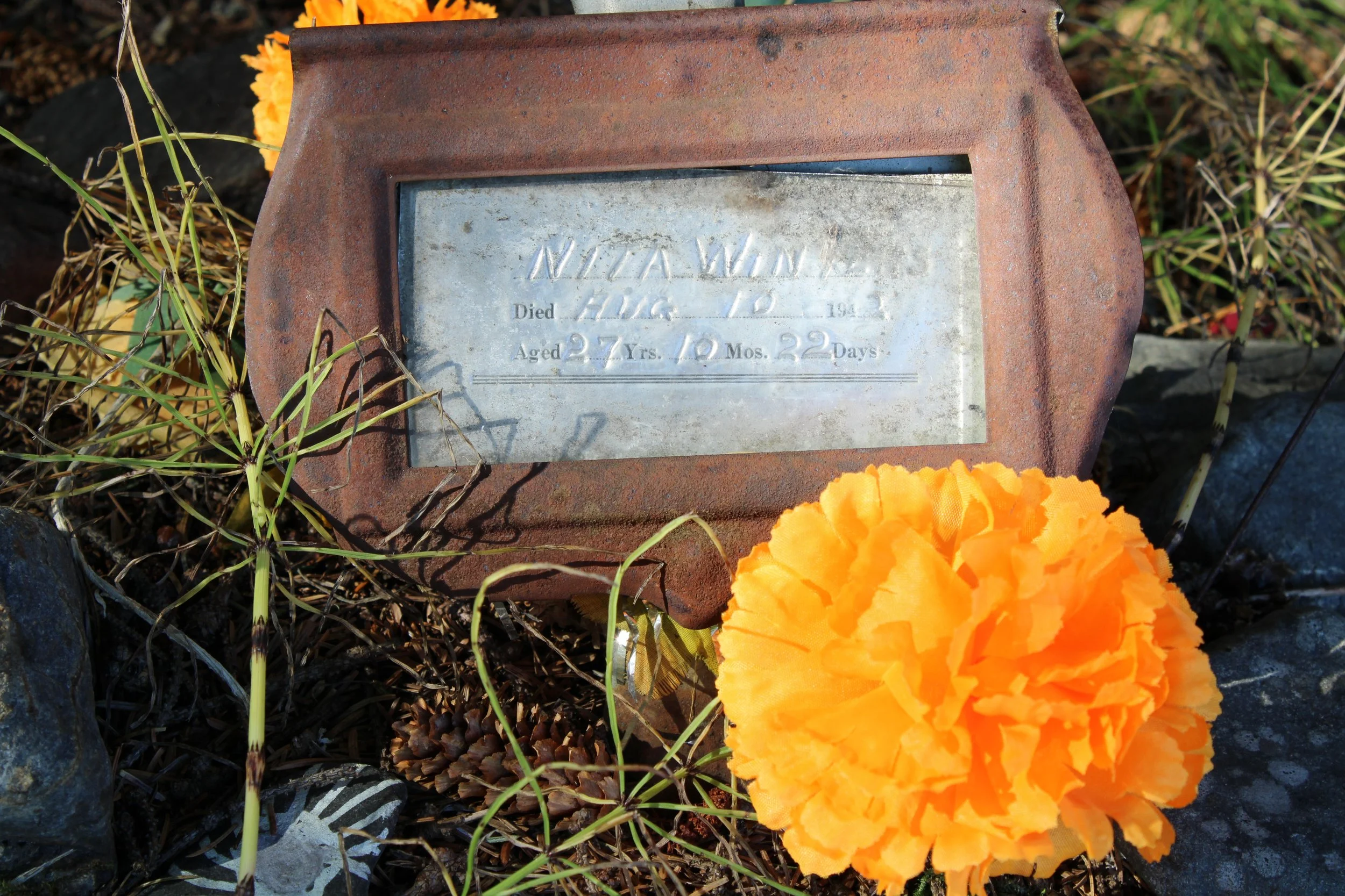
The work that began with historical research in 2021 and physical grave recovery in 2022 entered a new stage in 2023.
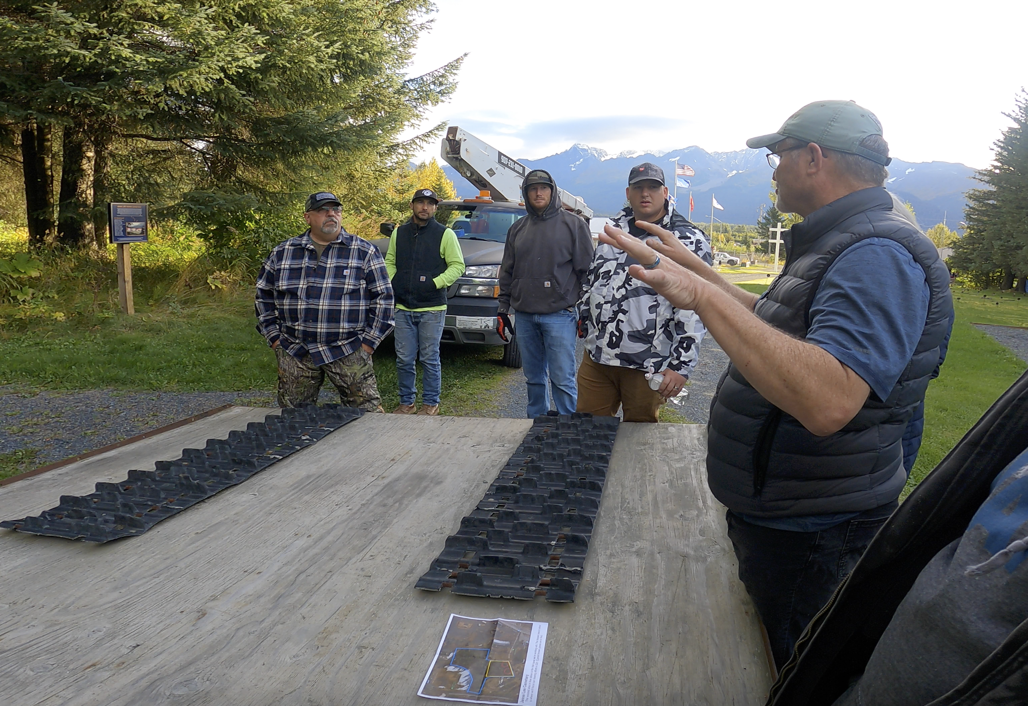
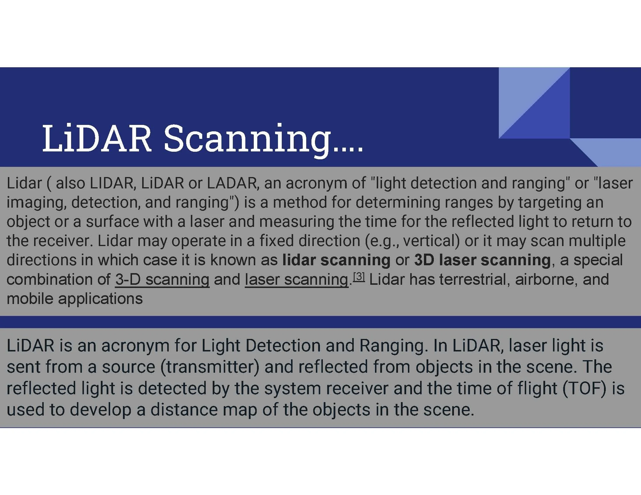
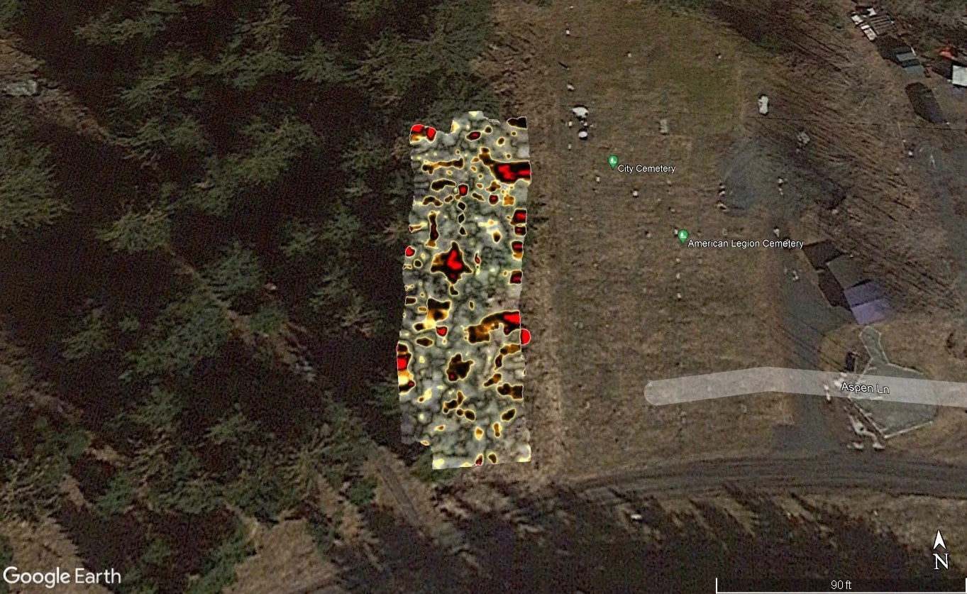
Qutekcak Native Tribe began using advanced surveying and mapping technology to better understand the cemetery grounds and identify areas that could contain burials.
The project timeline identifies 2023 as the year of LiDAR Survey & Mapping, when subsurface scanning was conducted and probable burial features were identified and mapped.
It represented an important shift.
The cemetery was no longer being understood only through what historical records said should be there.
The land itself was becoming part of the record.
Searching Without Disturbing
When working in a cemetery, particularly one containing unmarked graves, the responsibility is different from an ordinary construction or restoration project.
The goal is not simply to find something.
The goal is to find it respectfully.
Surveying technology allowed the project to investigate areas of the cemetery without unnecessarily disturbing the ground.
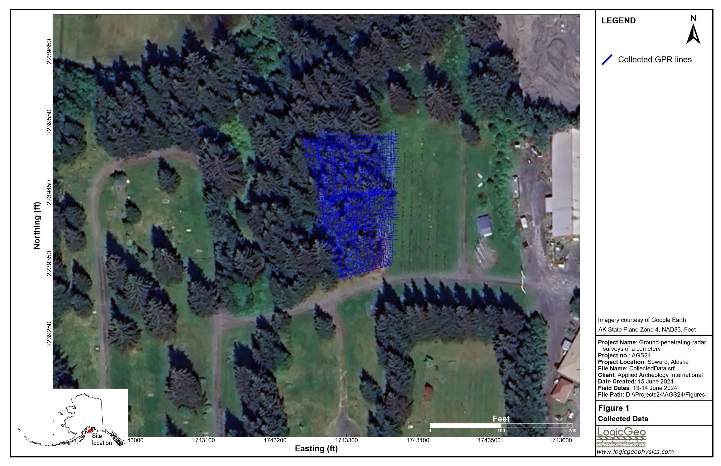
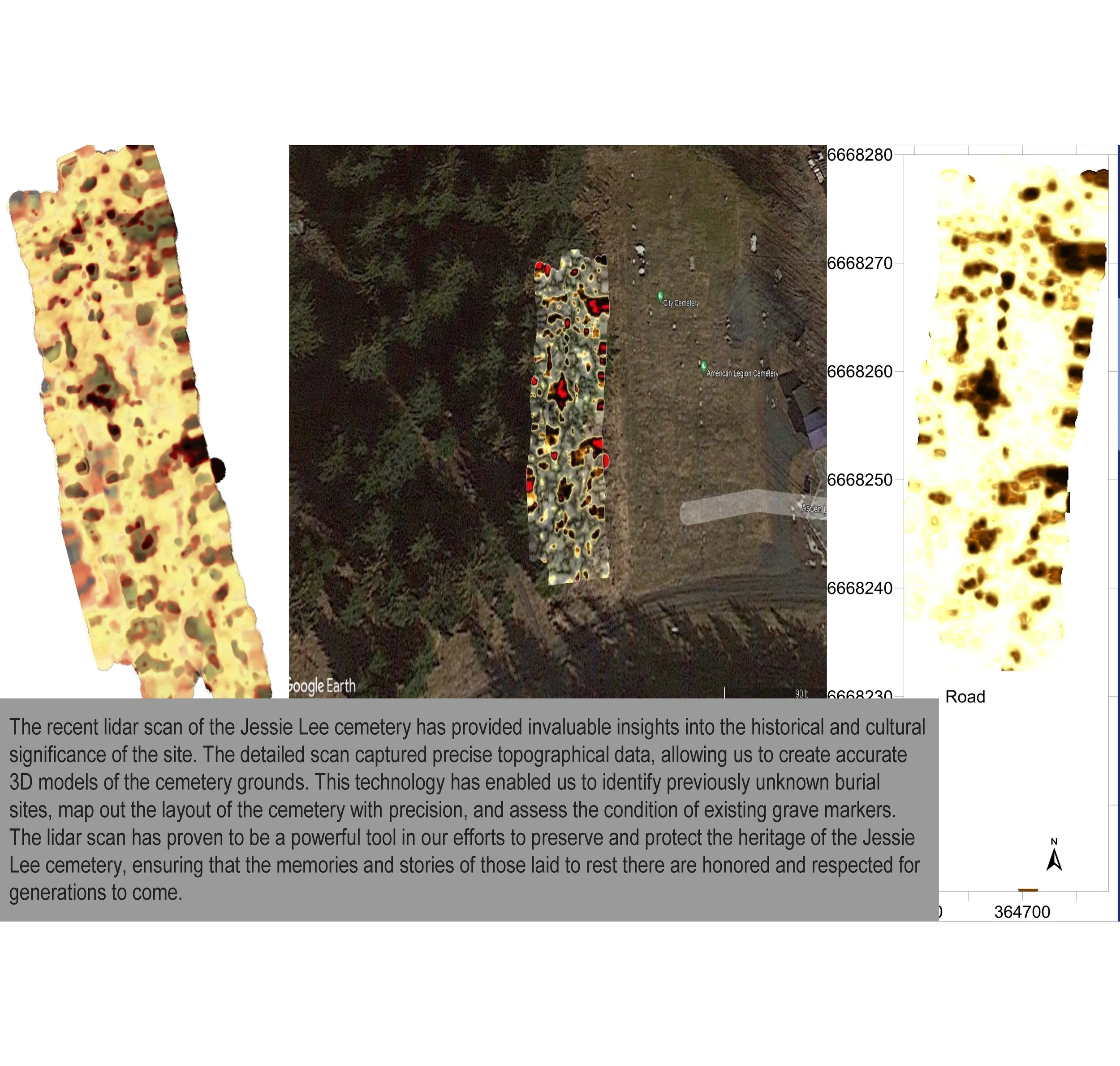
The scans revealed numerous disturbances beneath the surface. Some appeared consistent with burials, while others could have represented rocks or other historical ground disturbances. The survey information allowed researchers to examine different depths and better understand what might be hidden below.
Those distinctions mattered.
Every anomaly had to be approached carefully.
Every possible burial location deserved respect.
And every new piece of information added another layer to the cemetery's developing map.
Giving Shape to What Could No Longer Be Seen
Technology provided something the project desperately needed:
visibility.
Years of growth and weather had concealed parts of the cemetery. Many graves were no longer visible, and families could no longer easily locate the resting places of loved ones.
Surveying and mapping allowed QNT and its partners to begin seeing the cemetery differently.
Not simply as it appeared above ground, but as a landscape containing generations of history beneath it.
The project used detailed survey information to help identify previously unknown burial areas, better understand the layout of the cemetery, and assess existing grave markers. The technology also helped create more accurate three-dimensional information about the cemetery grounds.
Every location identified brought the project closer to answering questions that had remained unanswered for decades.
Where were the graves?
Where were the boundaries?
Where could future pathways safely go?
What areas needed to remain protected?
And where might another child be resting without a marker above them?
Mapping Is an Act of Protection
Finding a possible burial location is only one part of the responsibility.
The next responsibility is ensuring that location is protected.
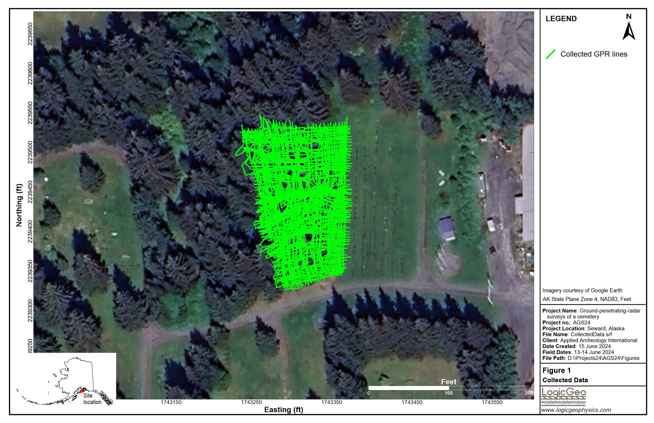
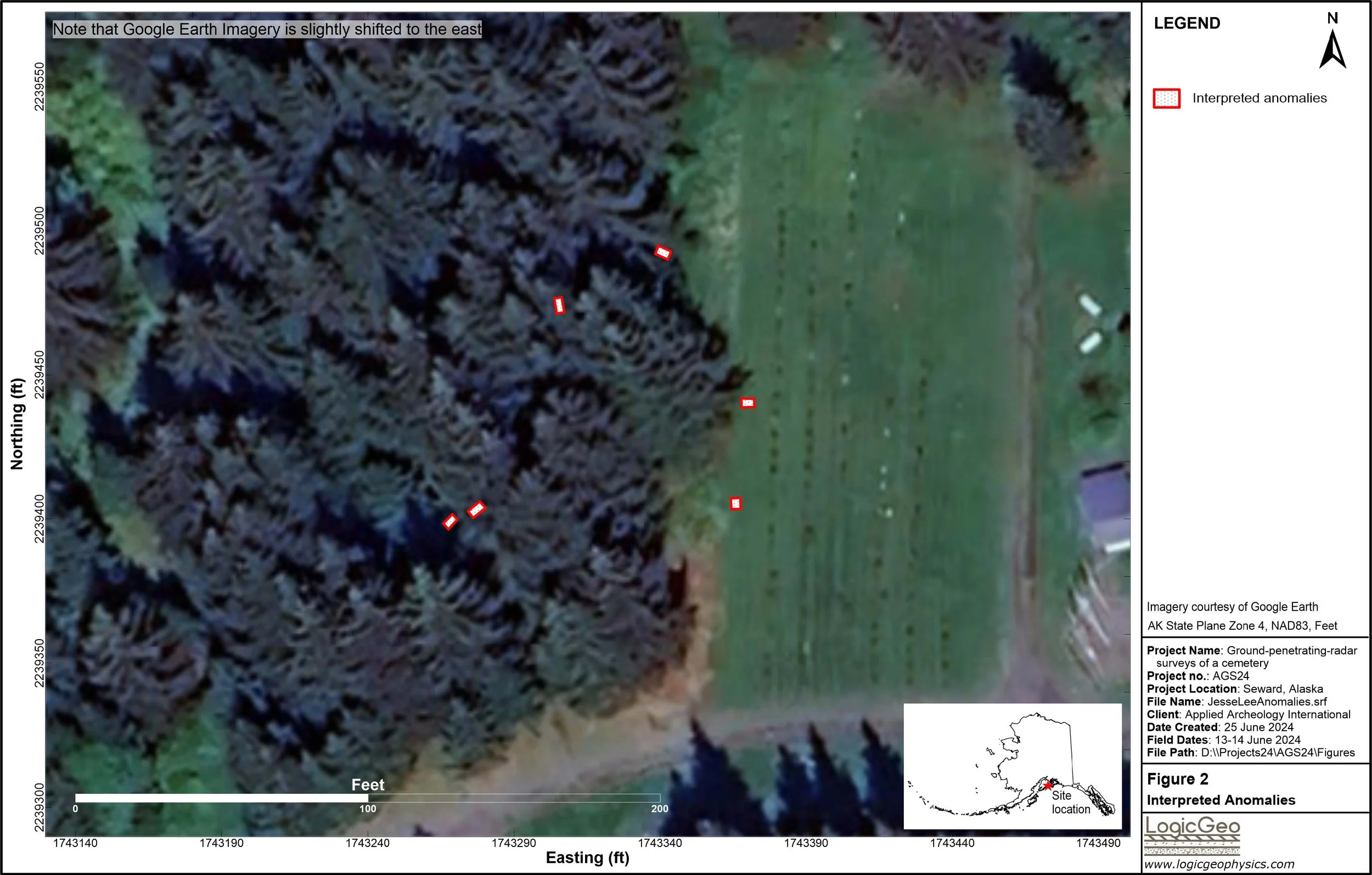
Later survey work documented systematic grids across the cemetery and identified subsurface anomalies that could represent probable burial features. That information became important for defining burial boundaries, protecting unmarked graves, planning pathways, and guiding the memorial design.
That is why mapping matters.
A grave that is not documented can accidentally be walked over.
Built over.
Disturbed.
Or forgotten again.
A grave that is carefully mapped becomes part of the permanent understanding of the site.
It can be protected.
It can be remembered.
And someday, it may help a family understand where their loved one rests.
The Children Without Markers
By this stage of the larger research effort, the scale of the loss had become increasingly clear.
Qutekcak Native Tribe had identified 53 Jesse Lee Home children buried within the Seward-area cemetery system.
Of those:
41 were associated with unmarked graves.
Eleven plot numbers had been located within the City of Seward Cemetery, and one marked grave — Stephen (Steven) Bell — was located in the Jesse Lee Home Cemetery area.
Forty-one unmarked graves is not simply a statistic.
It represents children.
Children whose resting places may have gone decades without a marker bearing their names.
Children whose descendants may never have known exactly where they were buried.
Children whose stories became scattered among archives, cemetery records, government documents, and memories.
That reality made the work even more urgent.
Connecting Technology With Humanity
There is something powerful about using modern technology to answer questions left behind by history.
But the technology itself was never the purpose.
The purpose was always the people.
The scans mattered because the children mattered.
The maps mattered because families mattered.
The data mattered because protecting these resting places mattered.
Every line on a survey.
Every anomaly beneath the ground.
Every coordinate.
Every potential burial feature.
They represented another opportunity to restore something that had been lost.
A Cemetery Becoming Visible Again
The work of restoring Jesse Lee Cemetery has always happened in layers.
First came the names.
Then the records.
Then the physical clearing.
And in 2023, another layer emerged:
the landscape beneath the landscape.
What had been invisible began to take shape.
Possible burial locations could be documented.
Areas requiring protection could be identified.
Future restoration could be planned more carefully.
And the vision for a permanent memorial could move forward with greater understanding of the sacred ground it would occupy.
The project was beginning to create something that had not existed before:
A more complete record of both the children and the land where they rested.
We Map Because We Remember
A map may look clinical.
Lines.
Coordinates.
Measurements.
Points on a screen.
But at Jesse Lee Cemetery, those lines mean something more.
They represent an effort to ensure that no resting place is unknowingly disturbed.
They help preserve the history beneath the soil.
They guide the restoration of sacred ground.
And they help make certain that children whose graves were once hidden are not allowed to disappear from memory again.
In 2023, Qutekcak Native Tribe looked beneath the surface.
What was found would help guide everything that came next.
Because remembrance is not only about looking backward.
Sometimes remembrance means using every tool available today to protect what history left behind.
They mattered then.
They matter now.
This is Part Three of “They Mattered Then. They Matter Now: The Jesse Lee Cemetery Story.” series, Next, we move into 2024 — a year focused on documentation, preservation, community education, and continuing the work of giving the children back more of their stories.